
Del City Neighbor Records on One Block
The public sources around a Del City address are complementary rather than interchangeable. The county GIS layer gives a visual parcel relationship. The Assessor identifies a current account and owner-of-record lead. A recorded deed or plat can verify the legal description behind that lead. Historical directories can place names on the same block in a particular year, while the city's neighborhood-watch material explains civic geography. No single route supplies a verified list of every person at nearby addresses.
| Del City source | What it can show for a block | Practical access |
|---|---|---|
| Oklahoma County GIS Hub | Parcel geometry, touching parcels, map layers, city boundary, subdivision context | Online map entry point; map is not a legal survey |
| Oklahoma County Assessor | Account, owner field, physical and mailing address, legal description, lot and block | Free account search by address, owner, legal description, and other keys |
| Oklahoma County Clerk | Recorded instrument, transfer parties, legal description, plat reference | Online index plus in-office inspection or official copy when needed |
| Oklahoma Voter Portal | Individual registration, district, polling-place, and sample-ballot context | Last name, first name, and date of birth required; not an address-based block roster |
| Metro and OHS directory sources | Dated street-index entries and historical block names | Library, research-center, database, and archival routes vary by collection |
| Del City neighborhood-watch associations | Association name, meeting information, and civic contact route | Official city list and public association pages; no public member directory located |
Owner-of-record, mailing address, and occupancy are different facts. A Del City parcel can have an owner whose mailing address is elsewhere, a common area with no household, or a boundary that does not match the next visible structure. Treat each record as a dated lead and preserve the retrieval date.
Map a Del City Block by Parcel
The Oklahoma County GIS Hub is the visual starting point for a Del City block. The Assessor describes GIS tools that can search an owner, physical address, account, legal description, or street intersection, connect parcel layers to account data, and display new plats, parcel splits, city boundaries, districts, floodplains, contours, and aerial imagery. The useful question is narrow: which parcels touch or surround the target parcel on the displayed layer?
- Find the Del City address and note its parcel, account lead, addition, and displayed map date.
- Inspect each touching or nearby parcel and record its geometry, account lead, and lot or block context.
- Confirm each owner field in the Assessor record and distinguish the physical address from the mailing address.
- When a shared block or transfer matters, check the County Clerk deed or plat for the legal description and recording reference.
- Move to the Del City street directory only when the question expands from the immediate block to a full named street.
GIS adjacency is not proof that a parcel is occupied, that the owner lives there, or that a visible next-door structure sits on a separate parcel. Corner lots, alleys, common tracts, condominium arrangements, recent splits, and new recordings can make a map relationship look simpler than the legal record.
Del City Neighborhood Watch Contacts
Del City's official neighborhood-watch page lists six associations that help describe civic areas around a block: Del Aire, Del City North, Epperly Heights, Hartsdel, Midway Village, and Olde Towne. The city page supplies recurring meeting schedules and locations, and some associations provide a website, social channel, or map. The listed material is a route for public meeting information, not a roster of private households.
| Association | Public route described by the city |
|---|---|
| Del Aire | Official neighborhood-watch listing with meeting information |
| Del City North | Official listing plus public zone and block-captain map |
| Epperly Heights | Official neighborhood-watch listing with meeting information |
| Hartsdel | Official neighborhood-watch listing with meeting information |
| Midway Village | Official neighborhood-watch listing with meeting information |
| Olde Towne | Official neighborhood-watch listing with meeting information |
The City of Del City neighborhood-watch page identifies Captain Whitney Taylor at wtaylor@cityofdelcity.org and Officer Lauren Vincent at lvincent@cityofdelcity.org as contacts.
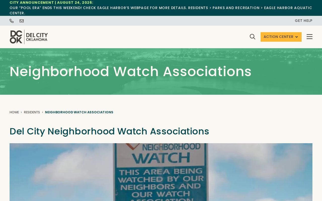
The official list is useful for identifying the right Del City association or meeting route without converting civic participation into a household record.
Del City Neighbor Civic Zones
Del City North publishes a multicolored public zone map with block-captain areas. It can help a researcher understand the civic geography around a Del City address, especially when a meeting notice, city minutes, or association page uses a zone name rather than a parcel number. The map does not define a parcel boundary and does not establish membership, ownership, or a household connection.
The Del City North zones page provides the public zone and block-captain map used for that limited civic context.
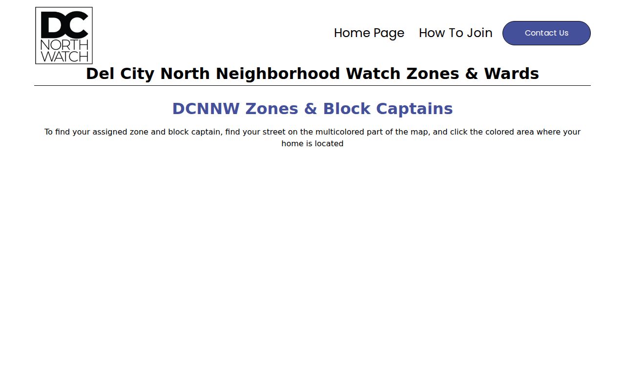
Compare a zone label with the Oklahoma County GIS parcel layer before deciding whether a Del City block falls within the same civic area.
Meeting notices and association sources can also preserve historic neighborhood vocabulary. That vocabulary can improve a search of plats, newspapers, municipal minutes, and directories, but the county parcel record remains the verification route for a legal boundary.
Del City Neighbor Election Limits
The Oklahoma Voter Portal requires a last name, first name, and date of birth. It can verify an individual registration and return district, polling-place, and sample-ballot information. It is not a tool for entering a Del City address and receiving a list of nearby people. The Election Data Warehouse distinguishes registration, voter-history, precinct, and polling-place material, but its route requires registration and the reviewed request details were not fully exposed.
The State Election Board says most registration information is public under the Oklahoma Open Records Act, while driver-license, identification, Social Security, and signature fields are not public. Phone and email are not maintained as voter-record fields under the agency's FAQ material. The Oklahoma County Election Board holds physical registration cards and protected-record applications, and is the proper local route for election questions.
Restricted Records protection under 26 O.S. §4-115.2 and the Address Confidentiality Program under 22 O.S. §60.14 can suppress a public address. A missing name or address may reflect protection rather than a negative fact. Do not try to work around those measures.
Del City Neighbor Record Sources
For a Del City block question, official records identify the custodian, date, search key, and limits. Commercial neighbor-finder tools may combine data from many sources, but they may not show the retrieval date, parcel basis, or reason an address is absent. Neither category proves present occupancy. Start with the record that owns the fact, then compare a second source when the result matters.
| Record route | Useful strength | Limit to keep in view |
|---|---|---|
| Official county and city records | Defined custodian, legal description, record date, and inspection route | Different systems update at different times and may redact protected material |
| Library and archival sources | Dated directory, map, newspaper, and neighborhood context | Historic entries are not current records; collection coverage can be incomplete |
| Commercial neighbor-finder category | May supply a lead to verify | Source date, accuracy, and household relationship may be unclear |
For a recent deed or assessor change, check the official instrument because the County Clerk notes that its online index can lag recording. The county's ALERT.OKCC.ONLINE service can notify an owner when a recorded document contains the subscriber's name, but common-name alerts can be false positives and the service is not a title search.
Privacy Limits for a Del City Neighbor
Public access has boundaries. Oklahoma's Open Records Act provides access to existing records subject to exemptions, redaction, confidentiality, and safety protections. Do not retain or republish protected addresses, signatures, driver-license information, Social Security data, medical details, juvenile material, or sealed and expunged information. A source that can be inspected by an authorized requester does not make every field suitable for wider sharing.
Use the least sensitive Del City record that answers the question. A parcel owner can be checked with the Assessor and Clerk; a civic zone can be checked with the association map; historical block context can be checked with a dated directory. Do not turn adjacency, a missing voter result, or an association label into a statement about a private household.
Lawful use. Del City neighbor research is for civic curiosity, reconnecting, and understanding a block. Do not use records or maps to monitor, harass, intimidate, or harm anyone.